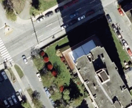
Awesome! Google Earth is beta-testing a “live feed” on a satellite. So far it’s only on the area around Edinburgh, but I’m sure it will be spreading to other cities soon.
I checked it out this morning, and you can see cars moving and stuff. If you zoom in on the downtown core, you can see people walking around.
Download the attachment and open it in Google Earth…
I found this out yesterday and went for a looksee right after I found it telecast on another site. When I went there via my google earth, I scrolled just to the right of a series of clouds and witnessed a car chase and then a spectacular crash with explosion and everything. Scared the bejesus out of me so much that I’m sort of reluctant to go back and snoop on the scotts again.
This is starting to seem like yet another of Google’s April Fool’s day jokes–all of Edinburgh is clouded over so you can’t see anything. And the non-cloudy areas don’t have any movement. Am I missing something, or is it just a joke?